ABOUT THIS PROJECT
The Jordan Tributary Reach B & C Improvements Project is a collaborative effort led by the Mile High Flood District (MHFD) and the Town of Parker. Olsson serves as the design engineer, Naranjo Civil Constructors is the prime contractor, and Western States Reclamation will complete revegetation throughout the restored channel corridor. The project enhances stormwater function, addresses sedimentation issues, and restores important elements of the Jordan Tributary drainageway within the Bradbury Ranch area. This work includes channel excavation, reconstruction of forebay structures, sheet pile cutoff wall installation, trail removals and replacements, a new Type R storm inlet near Martingale Drive, and full vegetation restoration. Improvements will also include localized dewatering at each forebay and at the sheet pile and pedestrian bridge locations, utility coordination with the Xcel gas line, earthwork to address the upstream floodplain pinch point, and regrading and soil preparation throughout the site. In addition to improving drainage capacity and sediment capture, the project provides long-term ecological and community benefits. Restoration elements include wetland plug installation, upland seeding, soil amendments, mulch treatments, and erosion control to stabilize restored areas. Work will be conducted in phases over roughly four months, with Reach B completed first followed by Reach C. Through careful coordination among MHFD, Parker, Olsson, Naranjo, and Western States Reclamation, the project strengthens the overall resiliency of the Jordan Tributary system while enhancing public access, safety, and natural habitat.
- Owners: Mile High Flood District, Town of Parker
- Contractor: Naranjo Civil Constructors
- Design Engineer: Olsson
- Revegetation: Western States Reclamation
CLIENT
Mile High Flood District
LOCATION
Parker, CO


WATCH NOW
PROJECT SHOWCASE VIDEO
From a bird’s-eye perspective, you can see the incredible work being carried out by Naranjo Civil Constructors on-site. With a commitment to environmental restoration and construction excellence, our team is transforming the landscape while ensuring the highest standards of quality and sustainability.
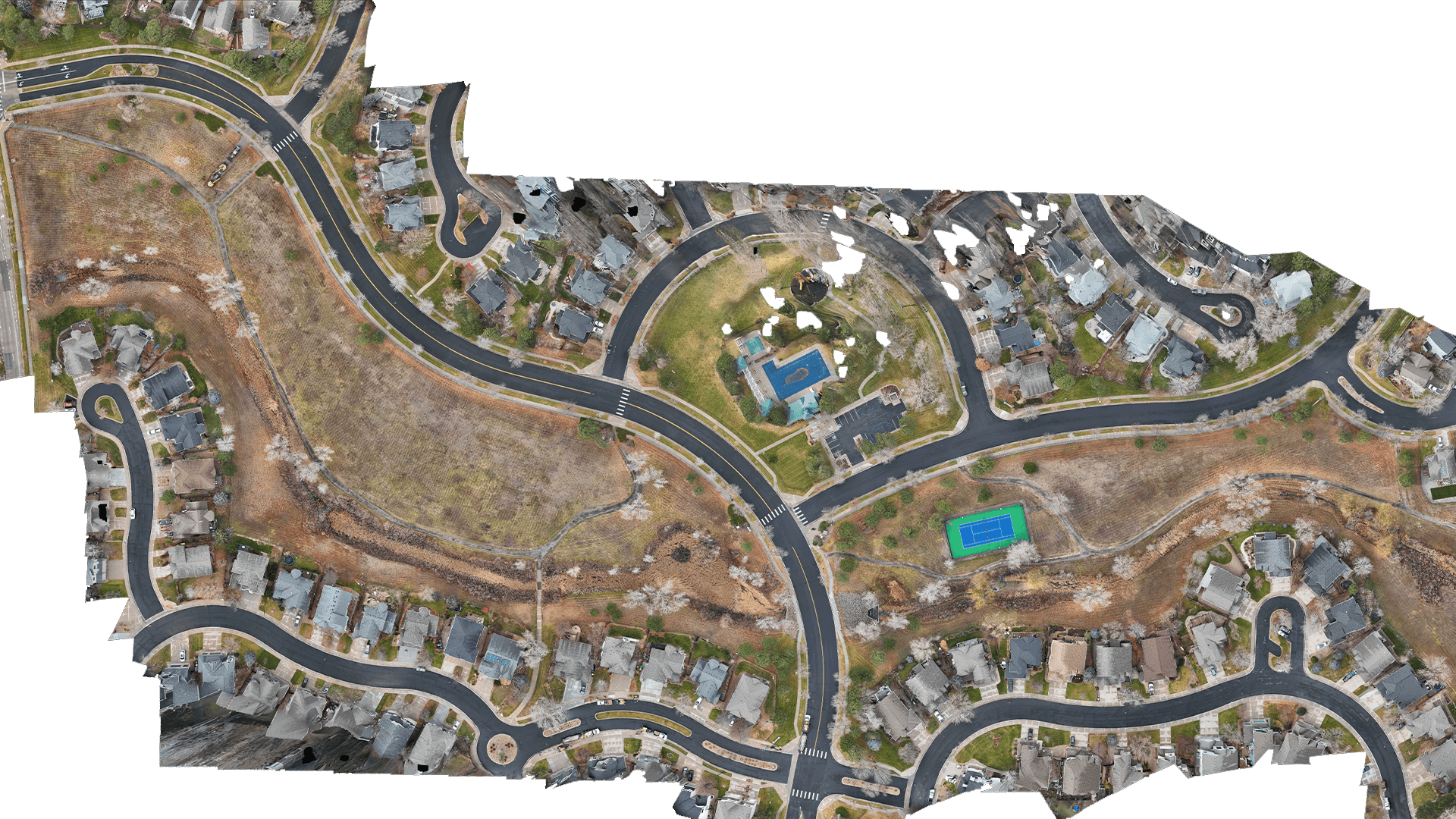
VISUALIZE IT
INTERACTIVE CAD OVERLAY
Explore the engineered design seamlessly overlaid onto the most up-to-date, high-resolution drone survey of the project site. This powerful visualization highlights both the precision of our engineering and the accuracy of our aerial data, providing a clear picture of how the design integrates with existing site conditions.
View CAD Overlay
View Now

PROJECT EVOLUTION
Experience the progress first-hand with our interactive image comparison slider. Seamlessly switch between before-and-after views to see the impactful changes made on-site, highlighting the transformation and precision of our work.”