


REYNOLDS LANDING PARK
REYNOLDS LANDING PARK
REYNOLDS LANDING PARK


– A PLACE TO GATHER, PLAY & EXPLORE THE WATERS OF THE SOUTH PLATTE RIVER –
REYNOLDS LANDING PARK
Reynolds Landing is a suburban nature park located in the Rocky Mountain foothills of Littleton, Colorado. This project is part of a more significant redevelopment of the park. The redevelopment will make Reynolds Landing a destination for recreation and interaction with the South Platte River, one of the region’s greatest natural resources.
In project partnership with Mile High Flood District (MHFD), the City of Littleton, South Suburban Parks and Recreation (SSPRD), Arapahoe County Open Spaces, the Colorado Water Conservation Board (CWCB), Merrick & Company, DHM Design Corporation, ERO Resources Corporation, and
Naranjo Civil is determined to bring this project to fruition. We have complete confidence in the collective expertise of this team, our goal is to complete Phase 1 construction by Spring 2027.
For questions about the Reynolds Landing project, please contact South Suburban Parks and Recreation at planning@ssprd.org
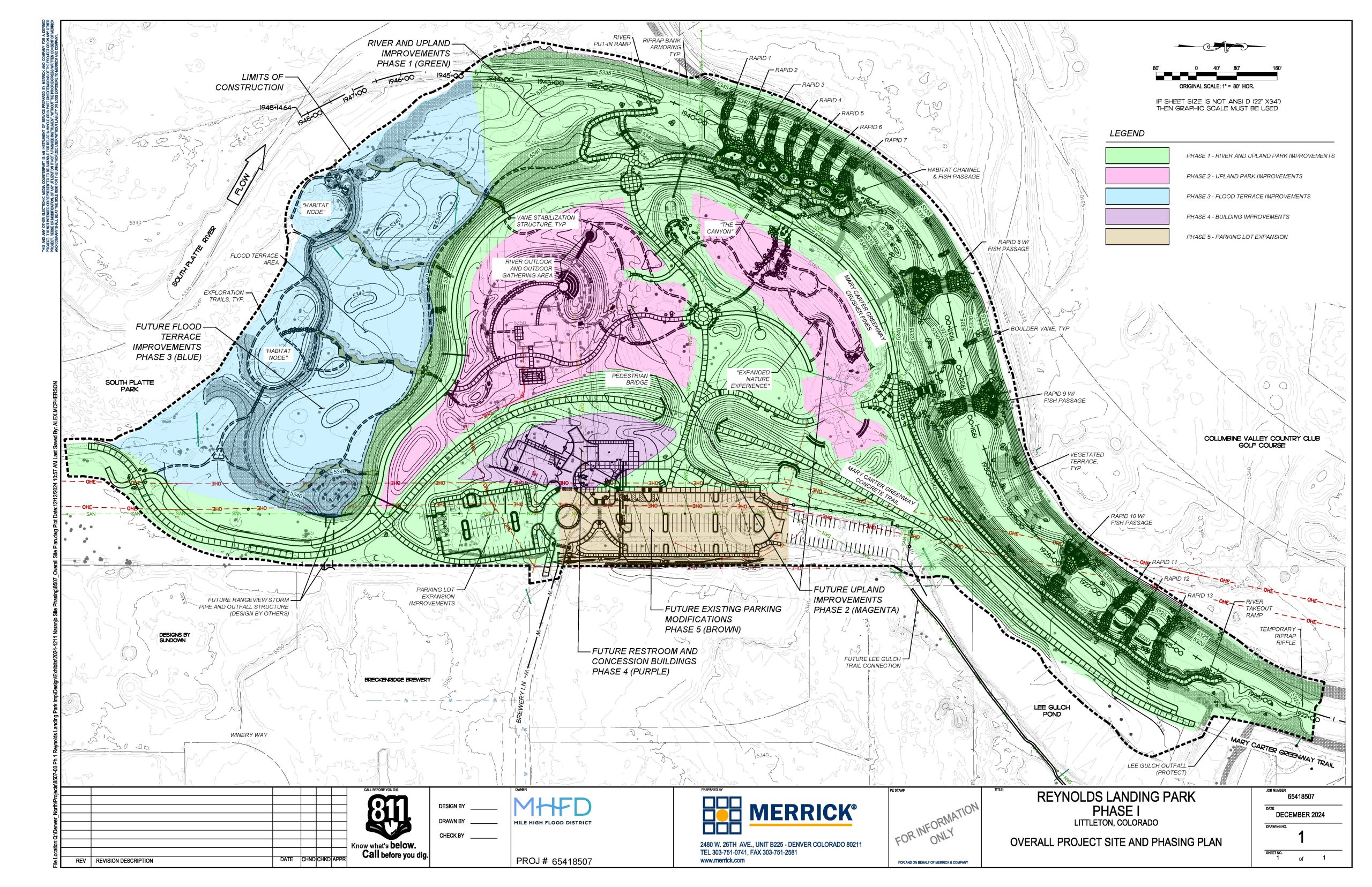
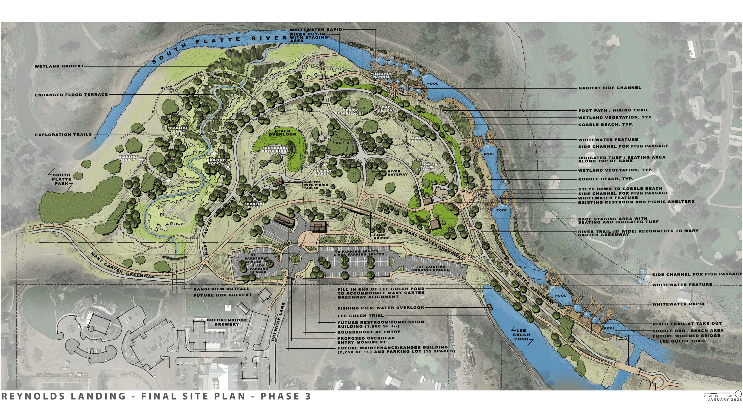
PROPOSED IMPROVEMENTS
The overall goal of the project is to “Provide a place to gather, play and explore the waters of the South Platte River”. To achieve this goal, specific objectives and improvements are planned:
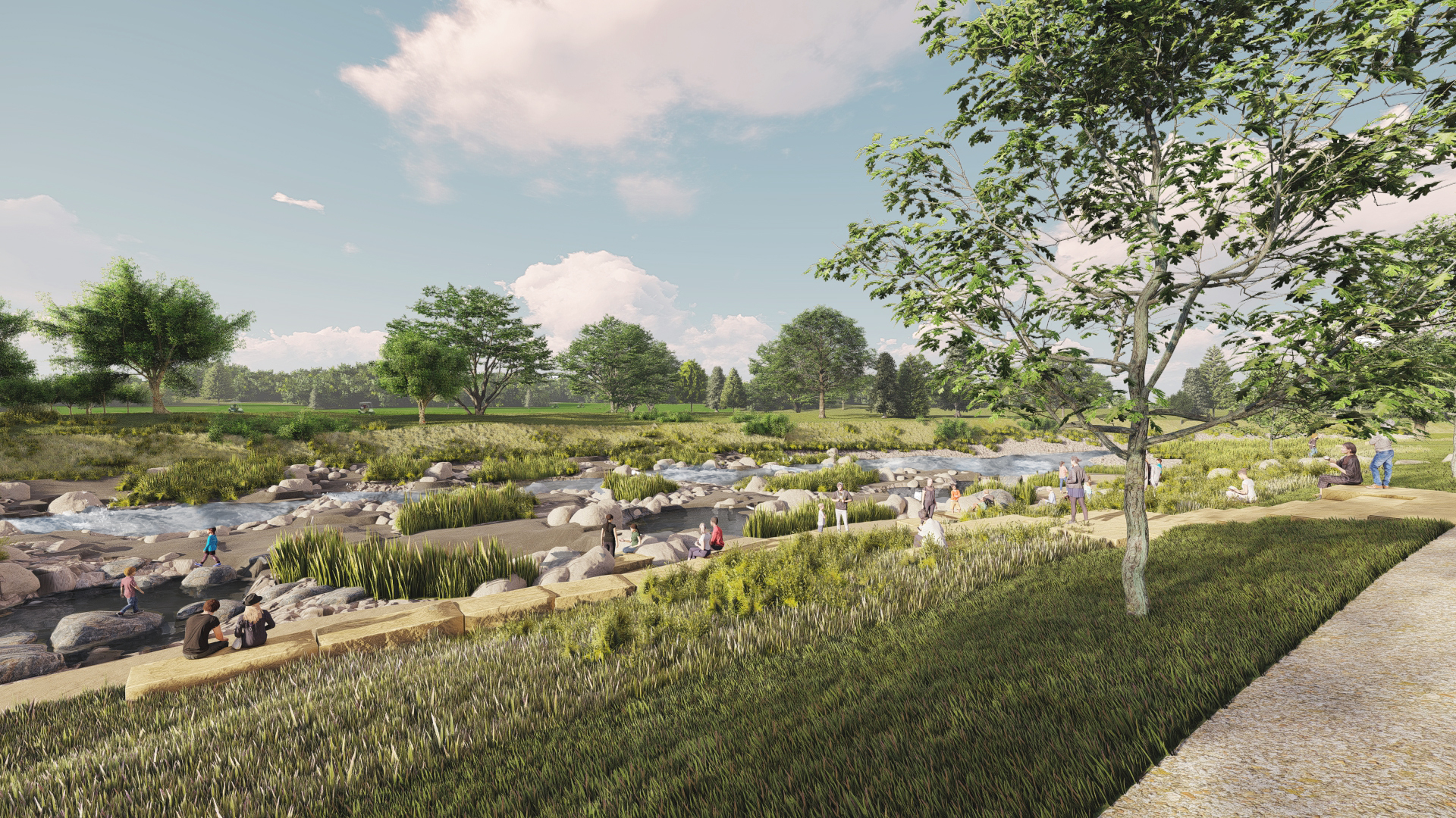
- River Connection – Creating river access trails and a looped in-water trail for floating the river downstream with walking back upstream to float again.
- River Restoration – Improving fish passages and habitat by reshaping the low flow channel and adding smaller boulder drops, deep pools, riparian terraces and wetland and upland vegetation.
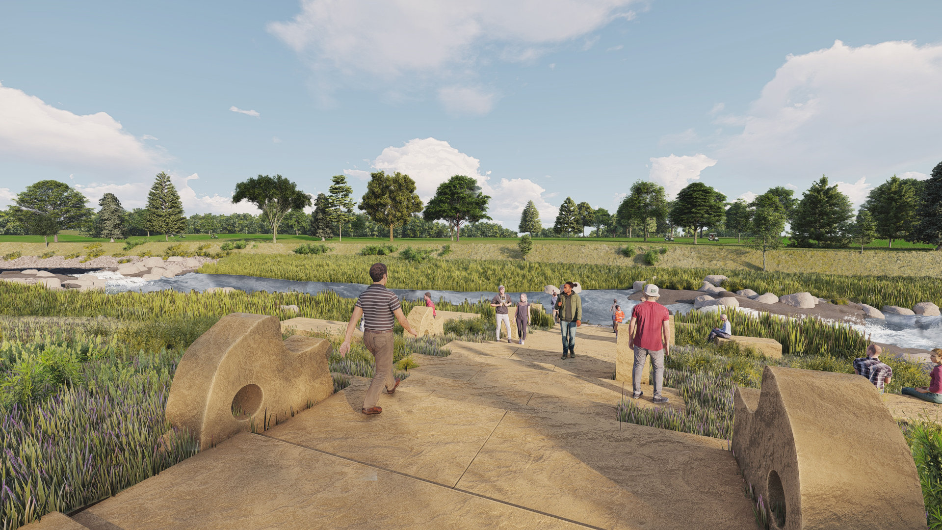
- River Recreation and Safety – Installing smaller drop structures to replace the three existing large structures and providing low hazard in-river features to accommodate tubers, kayakers, rafters, paddle boards, etc.
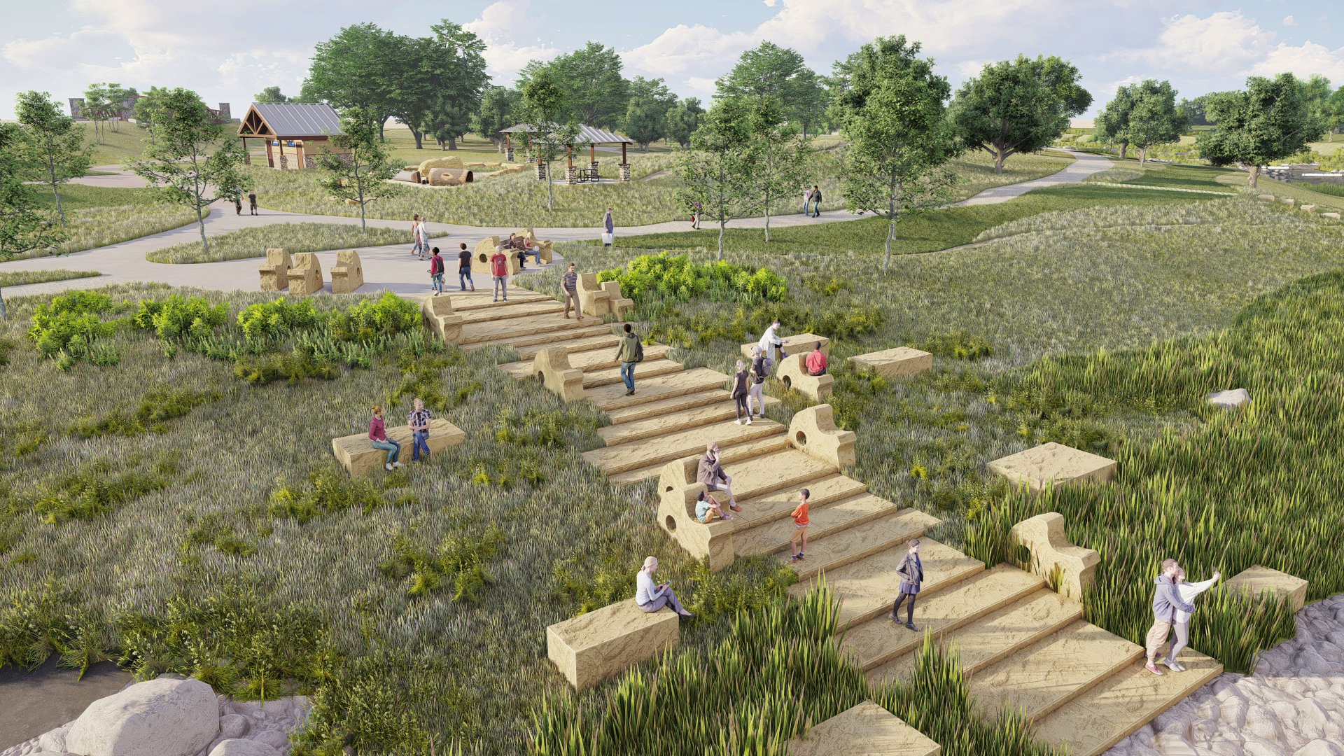
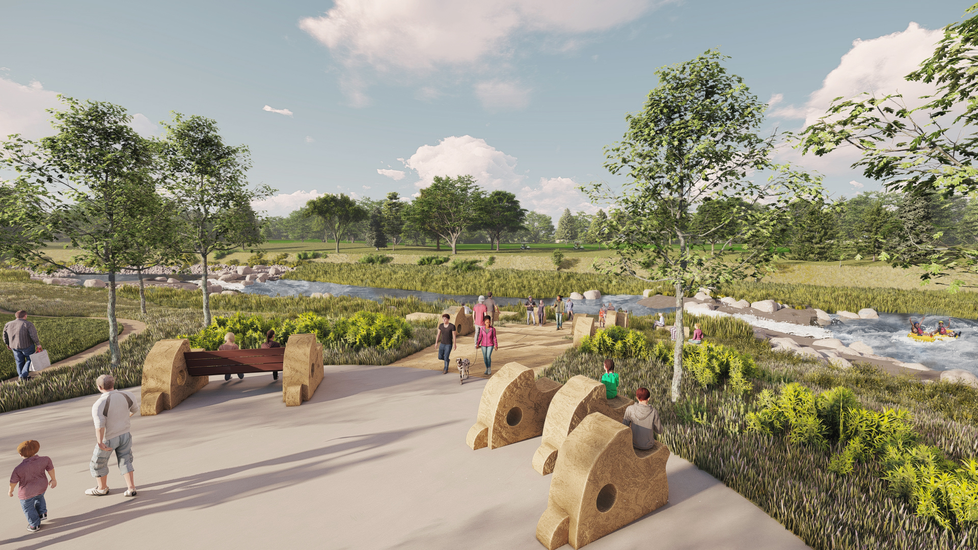
- Diverse Recreation – Providing opportunities for all ages and abilities to engage with the water and river through accessible trails, gathering areas, and natural play elements.
- Trail Enhancements – Realigning the Mary Carter Greenway by providing a land bridge for cyclists to bypass the busy hub of the park and placing the soft surface trail for walkers and runners near the river.
- Park Enhancements – Providing interactive art/sculptures, new trail connections, additional parking and trees, and removing structures on the south end of the park to allow for future park amenities.
- Flood Protection – Maintain the project’s authorized purpose for flood protection while supporting the community’s desire for a park that engages the South Platte River.

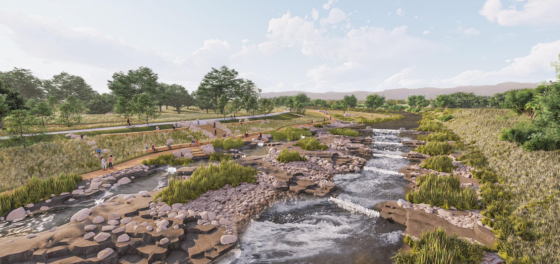
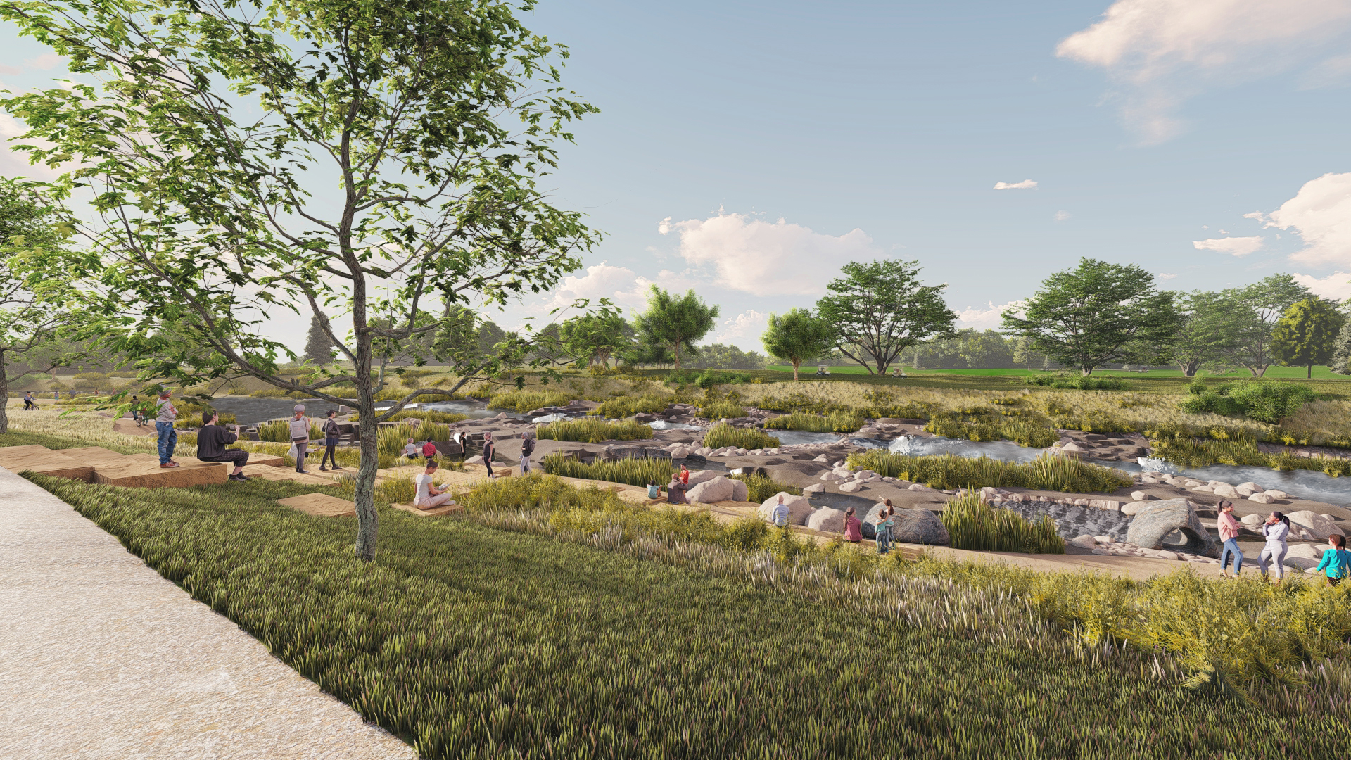
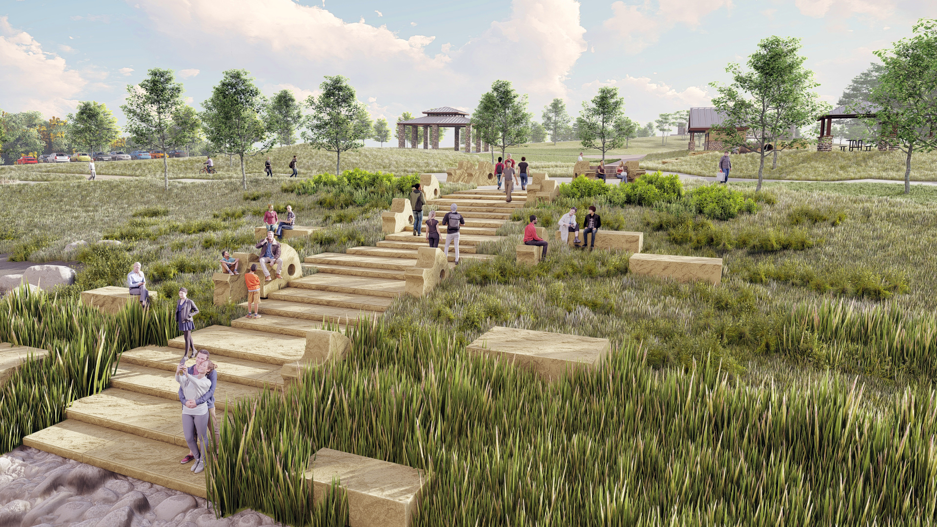
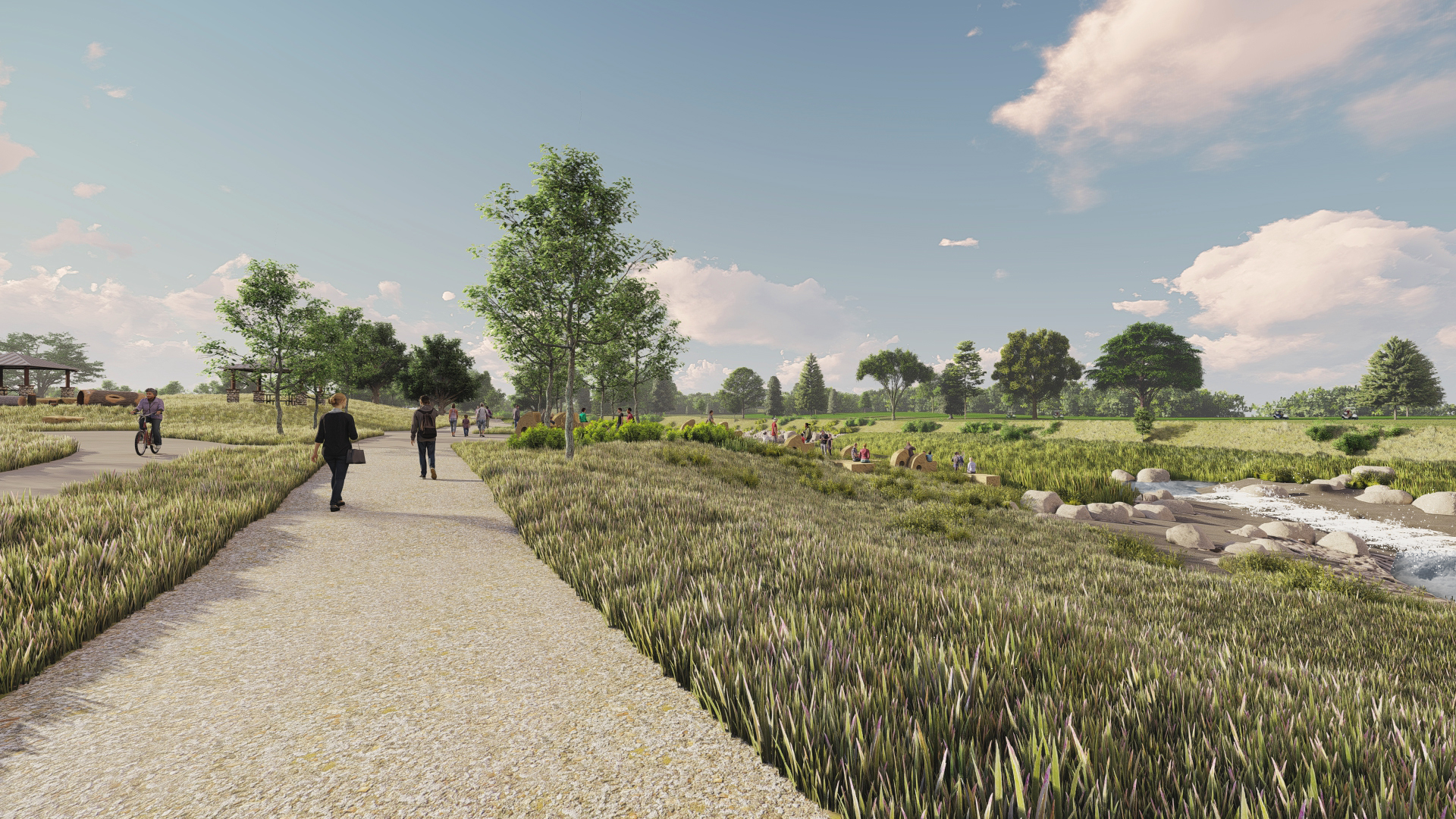
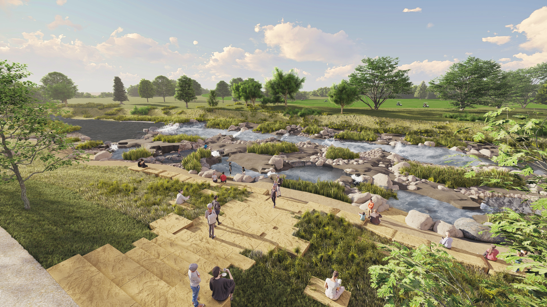
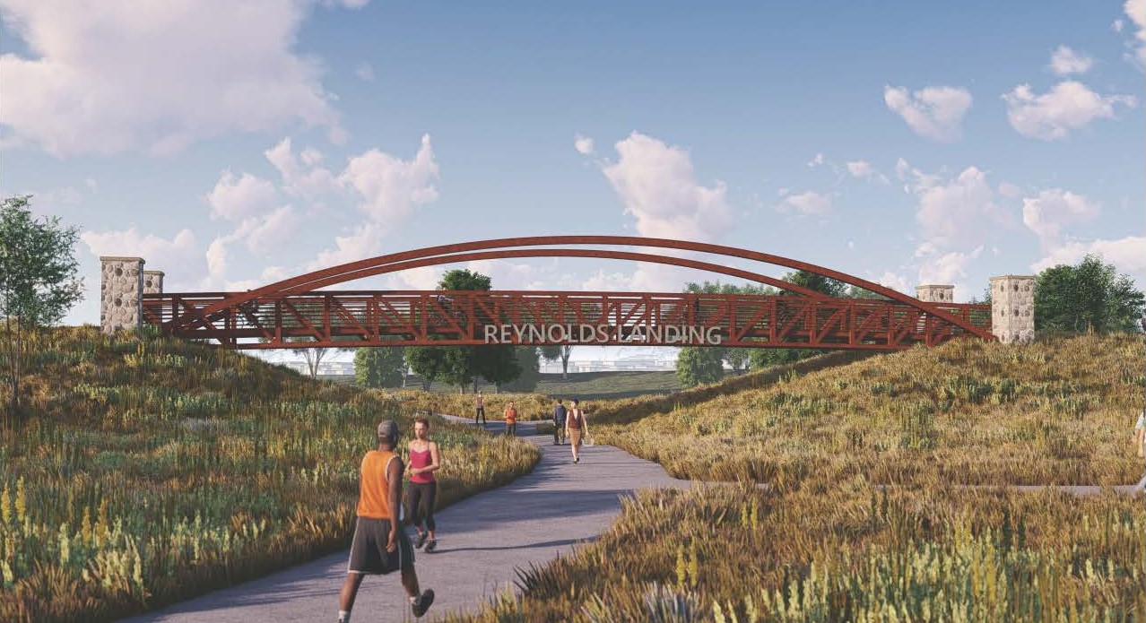
– RENDERINGS –
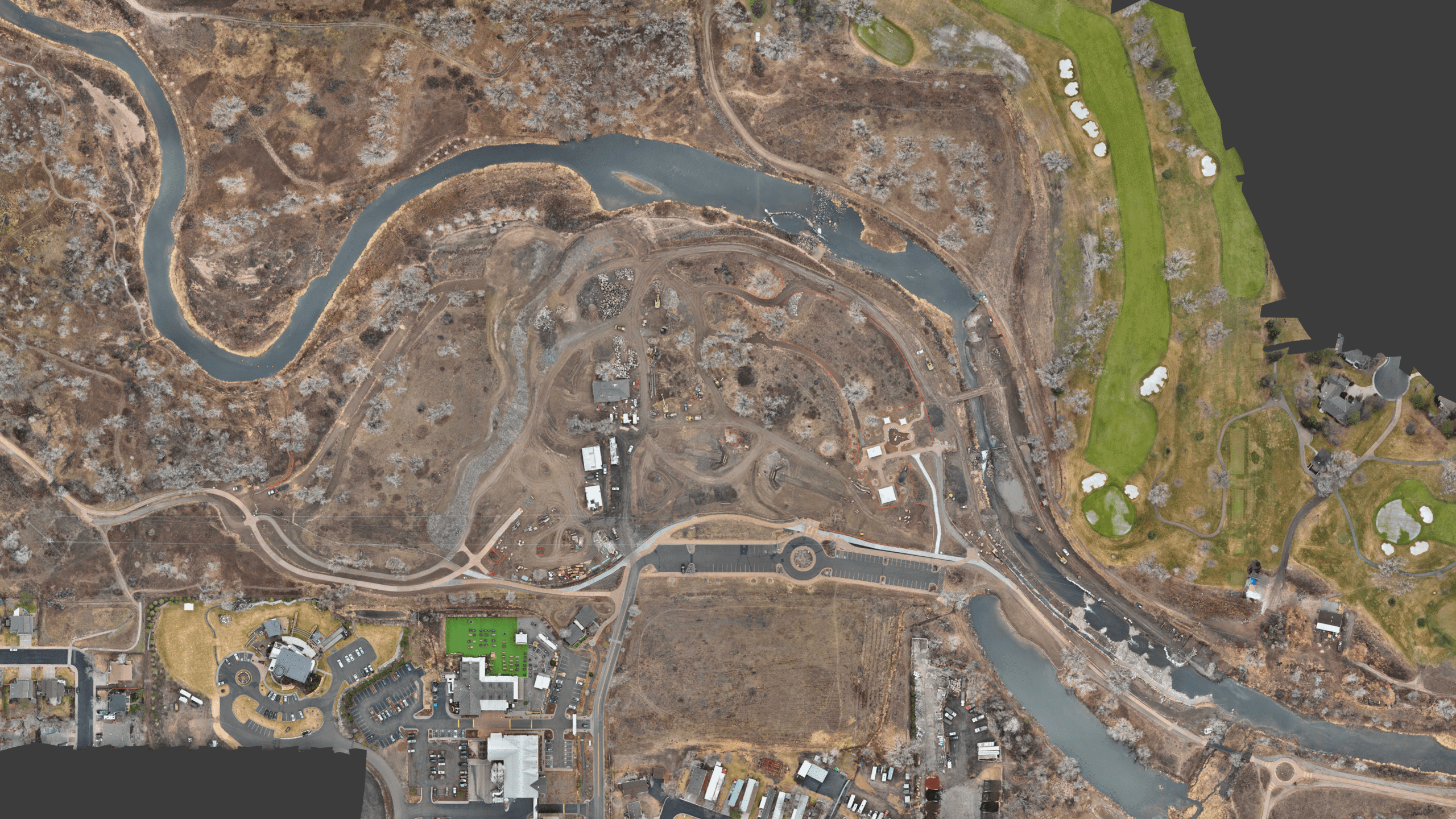
– REYNOLDS LANDING PROGRESS BEFORE/AFTER –
In these photos, we cover progress that has been made on site since the project began.
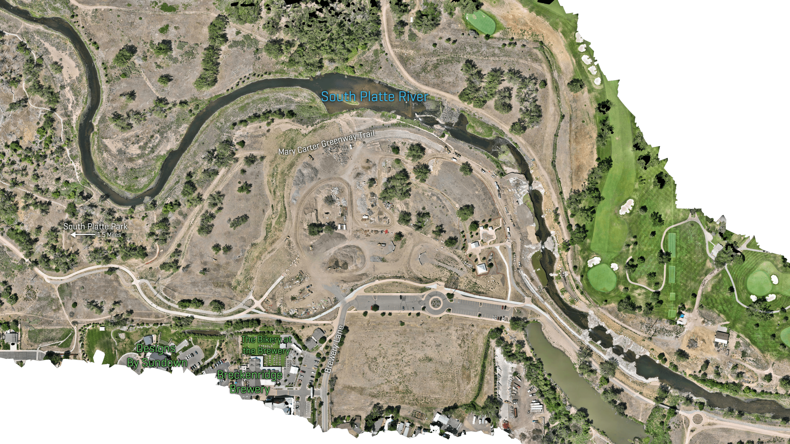
– REYNOLDS LANDING EXISTING CONDITIONS/PROPOSED IMPROVEMENTS –
In these photos, we showcase what current site conditions look like compared to final design.
– VIDEO STREAMS –
– MEDIA LIBRARY –
July 16th, 2026


